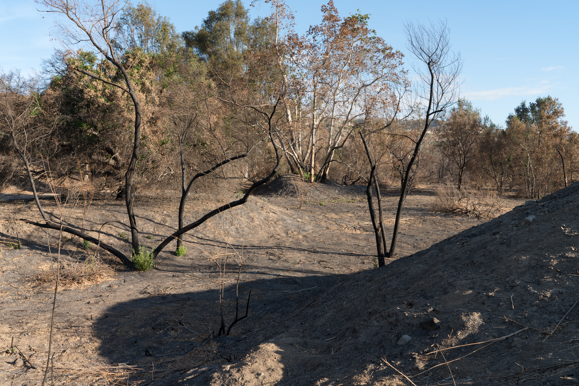
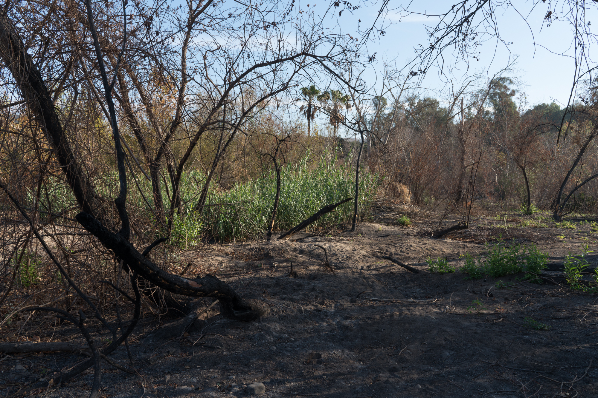
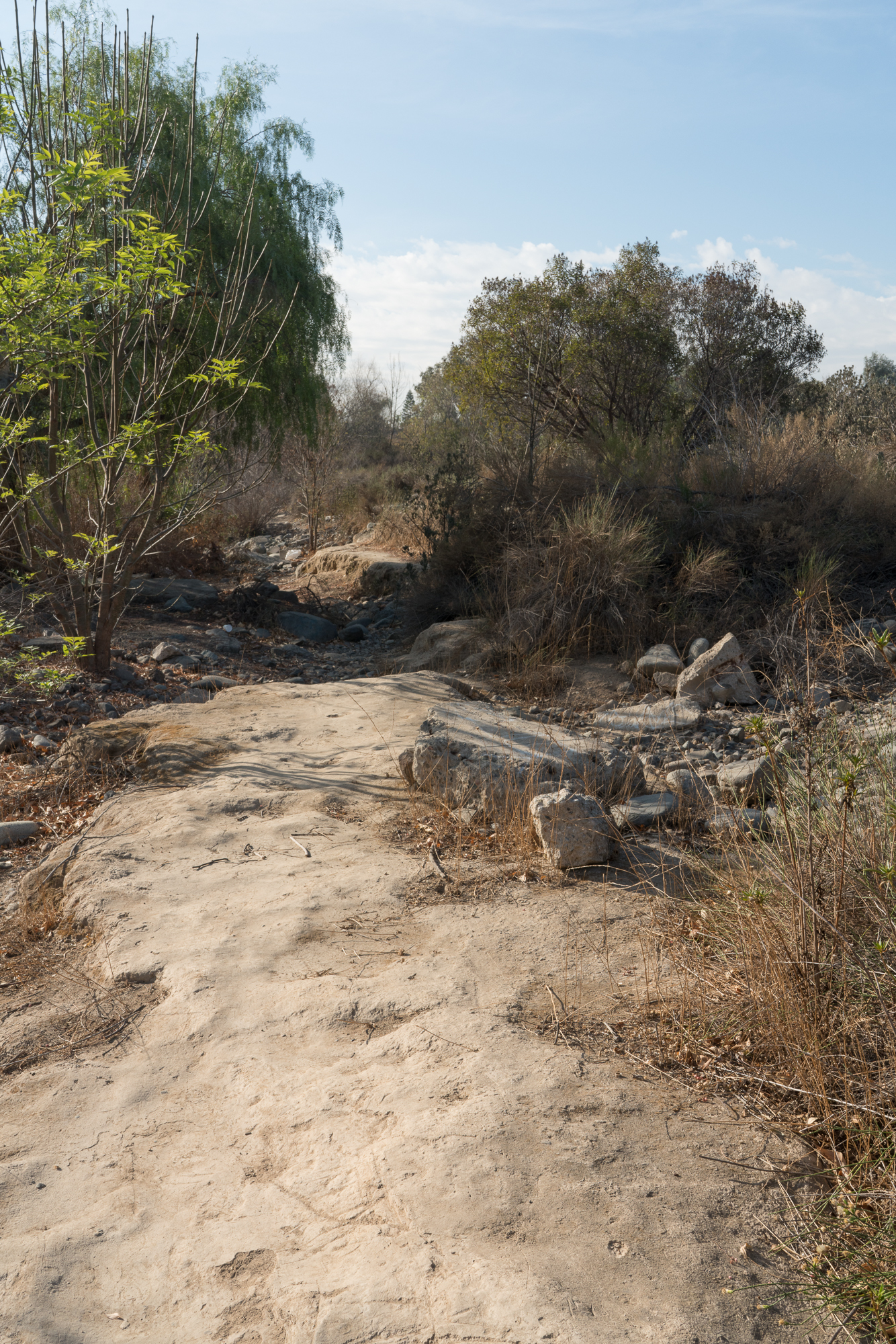
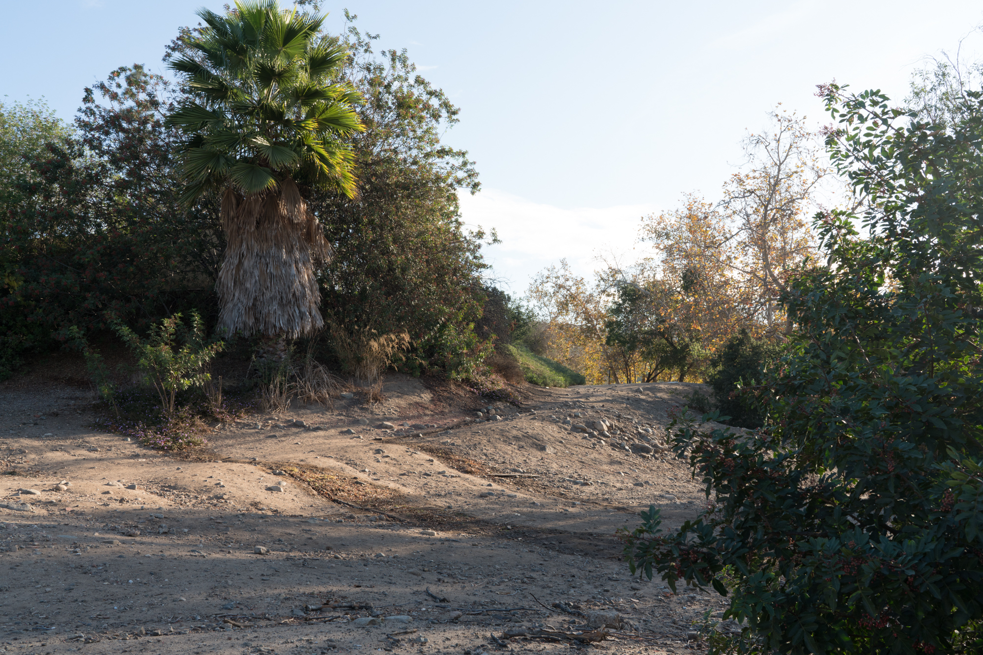
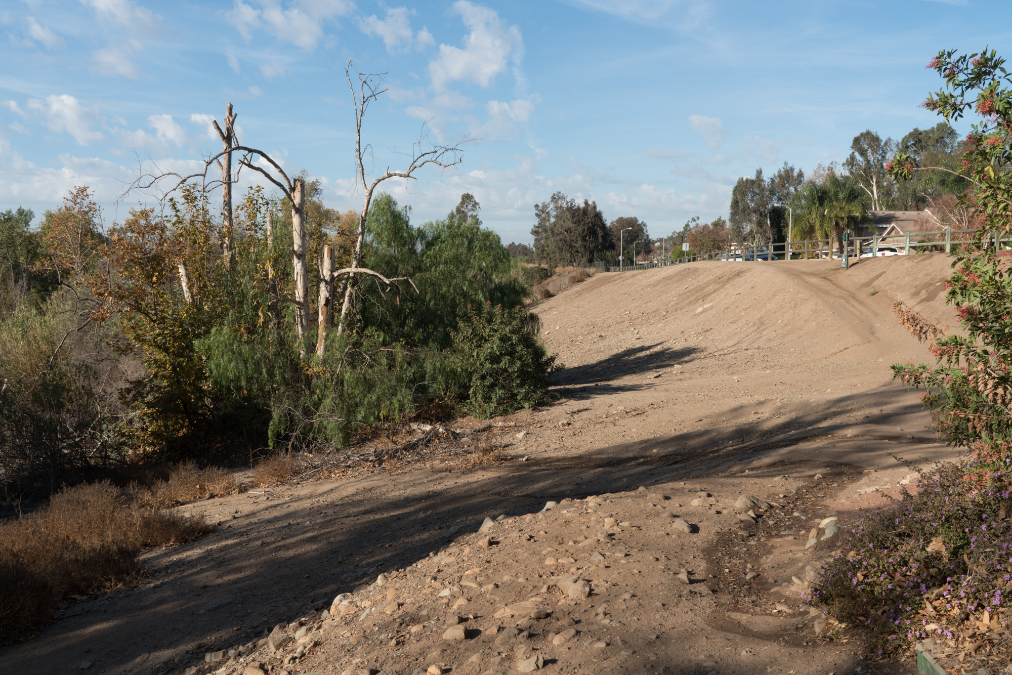
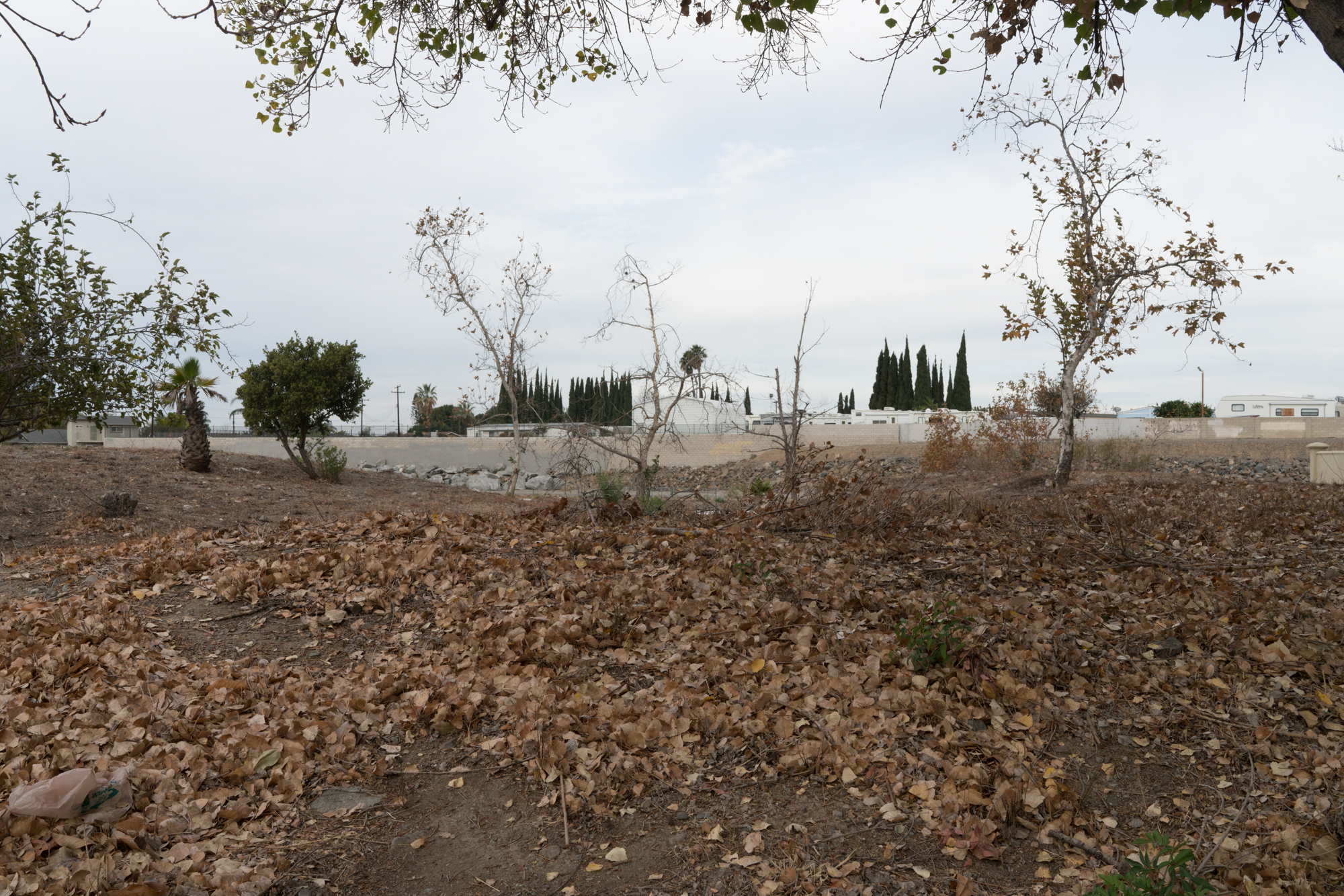
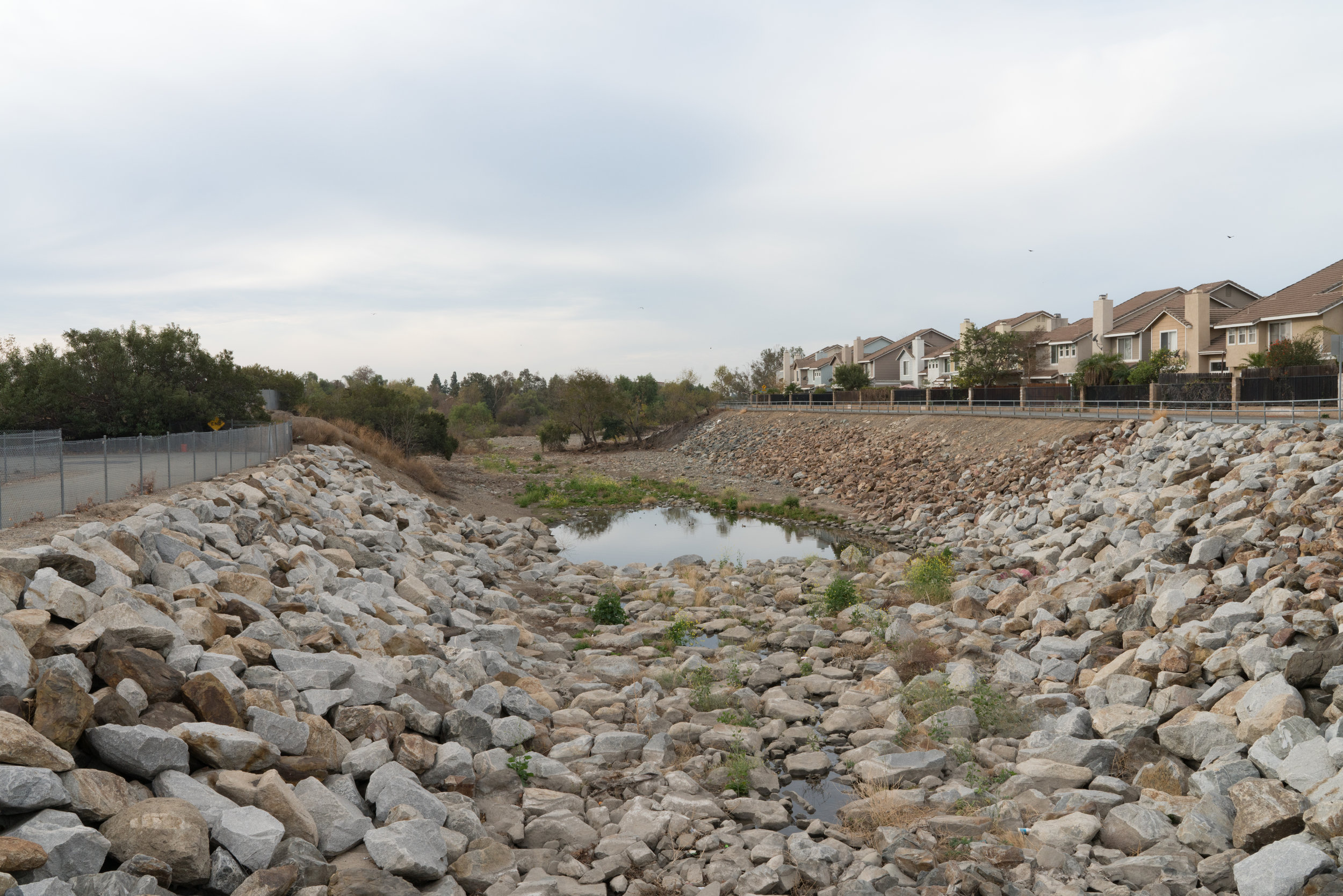
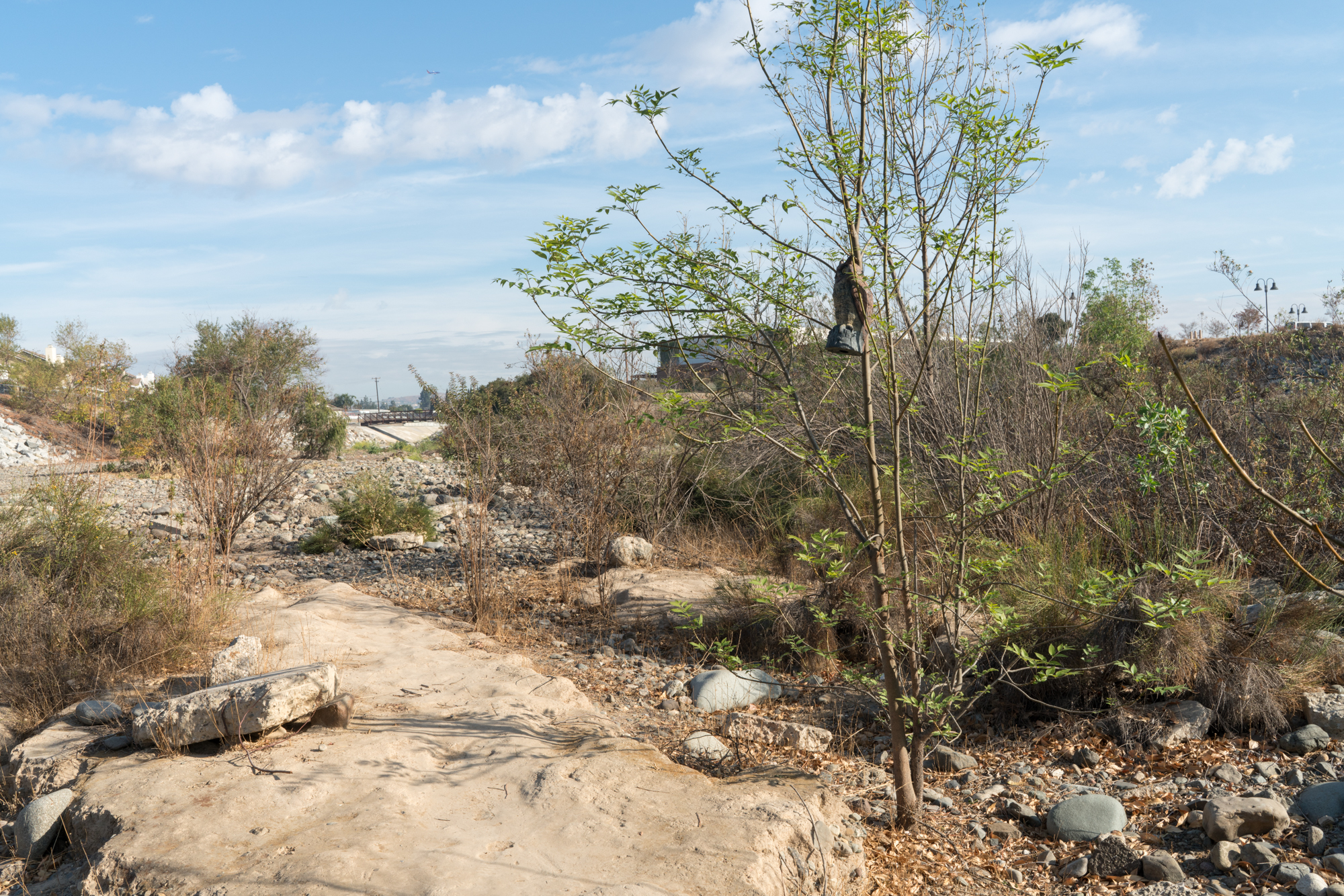
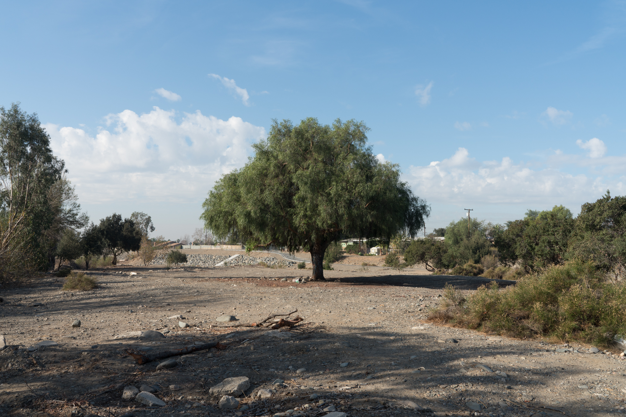
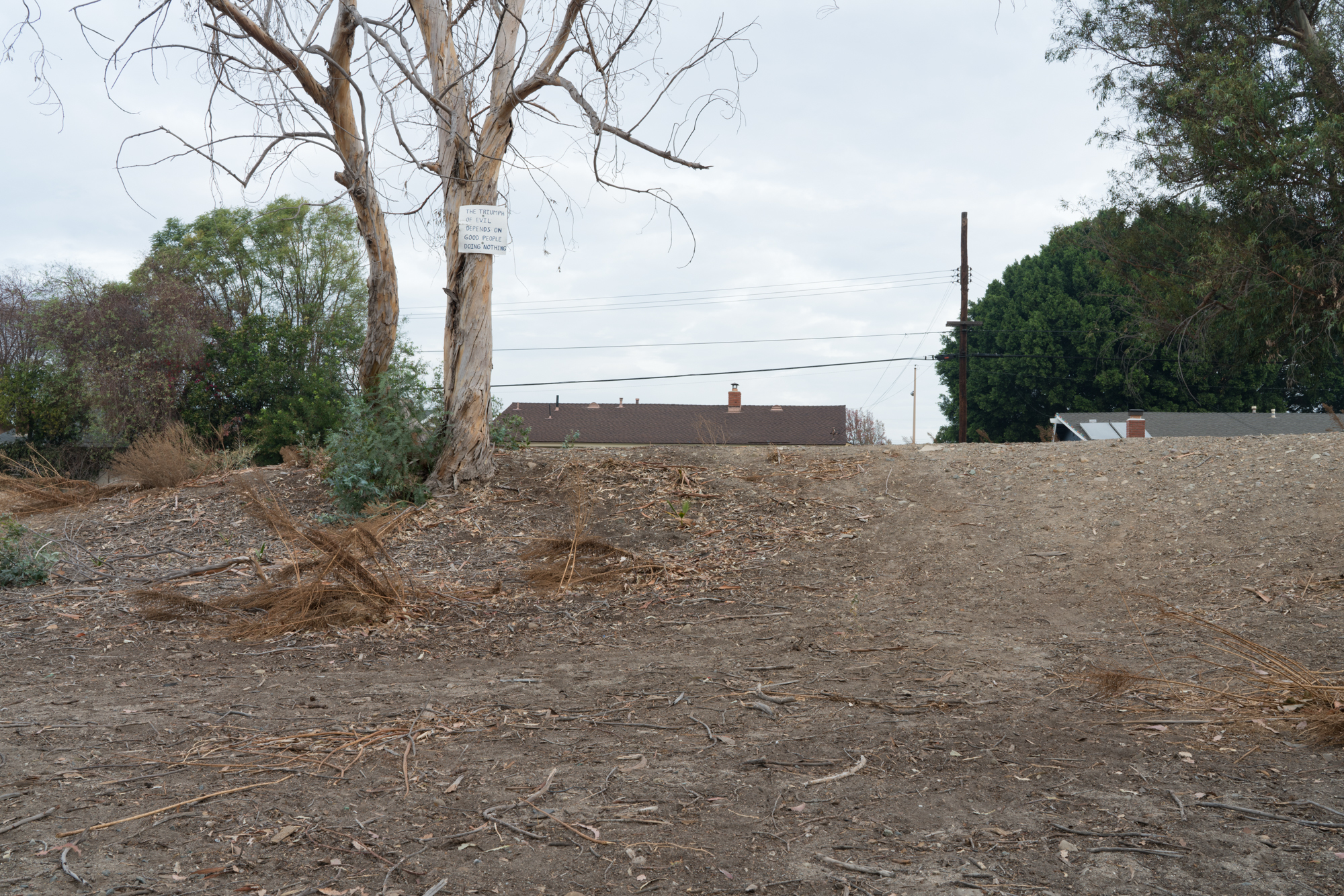
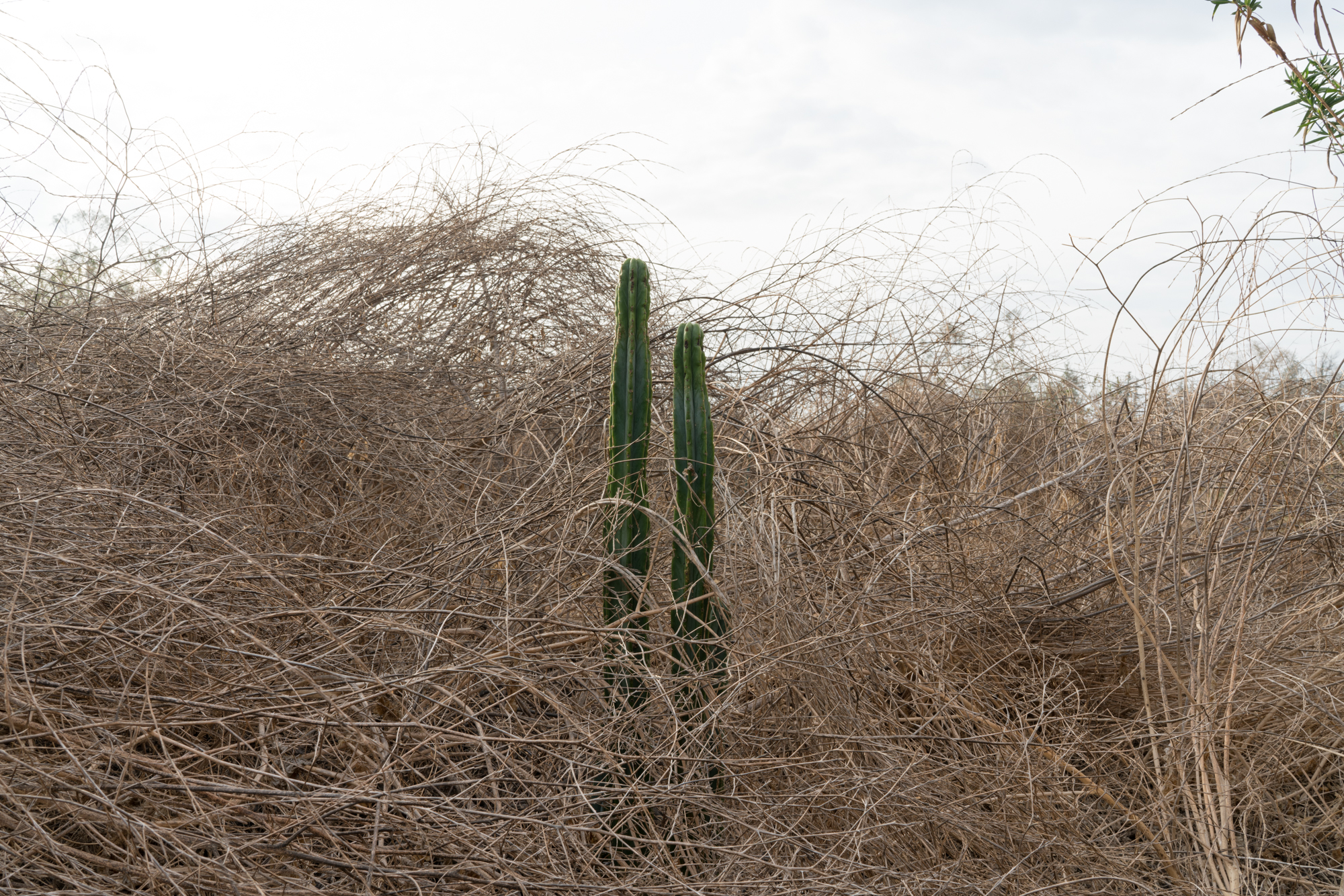
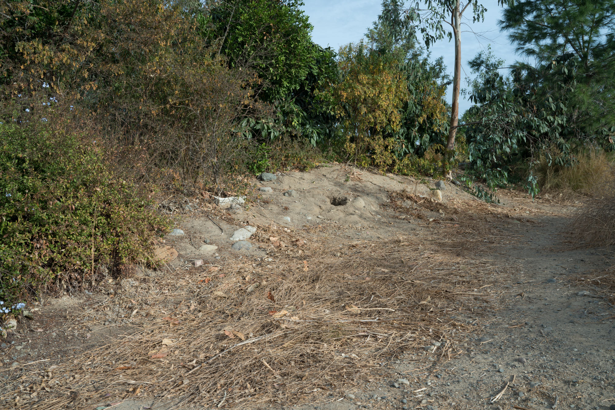
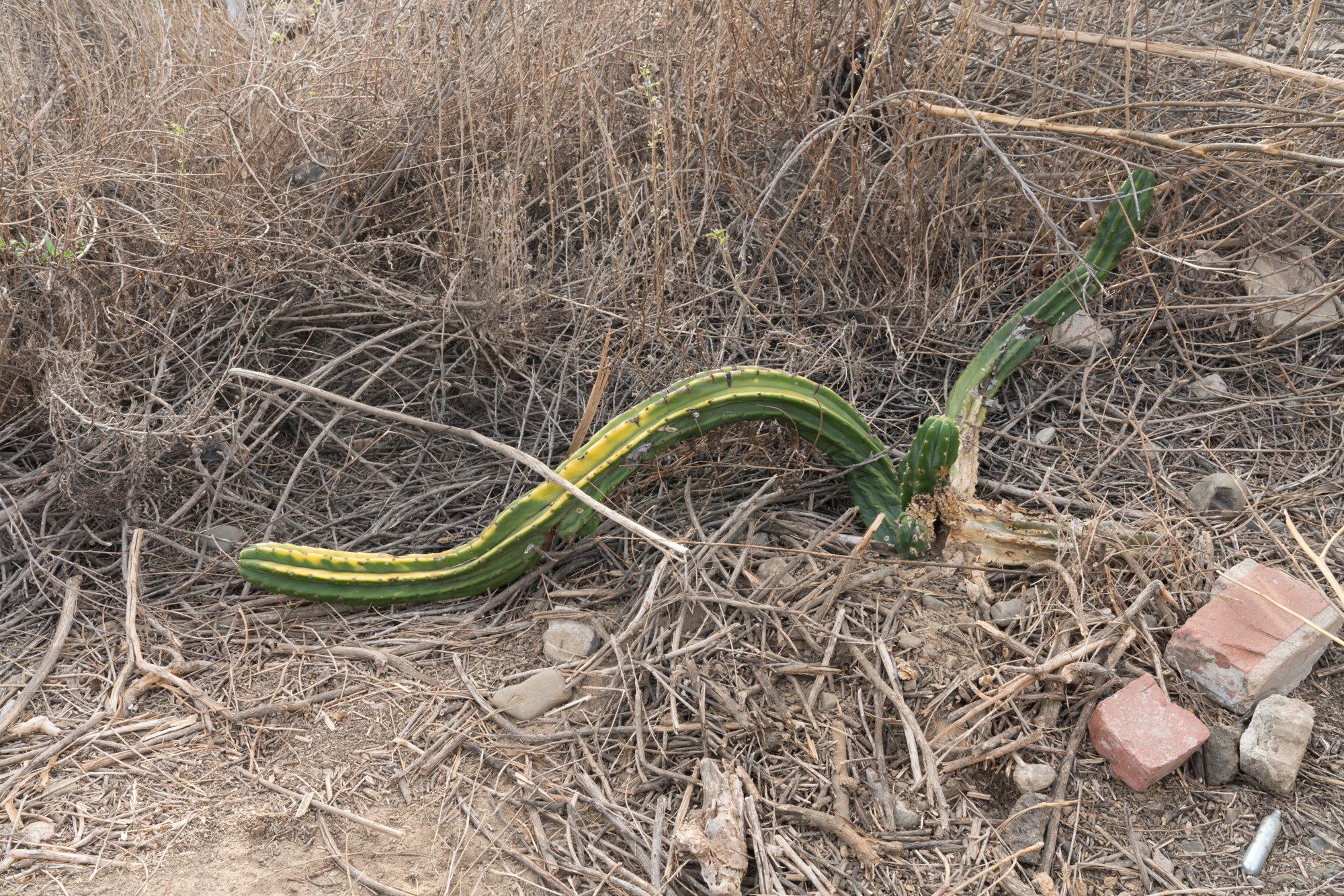
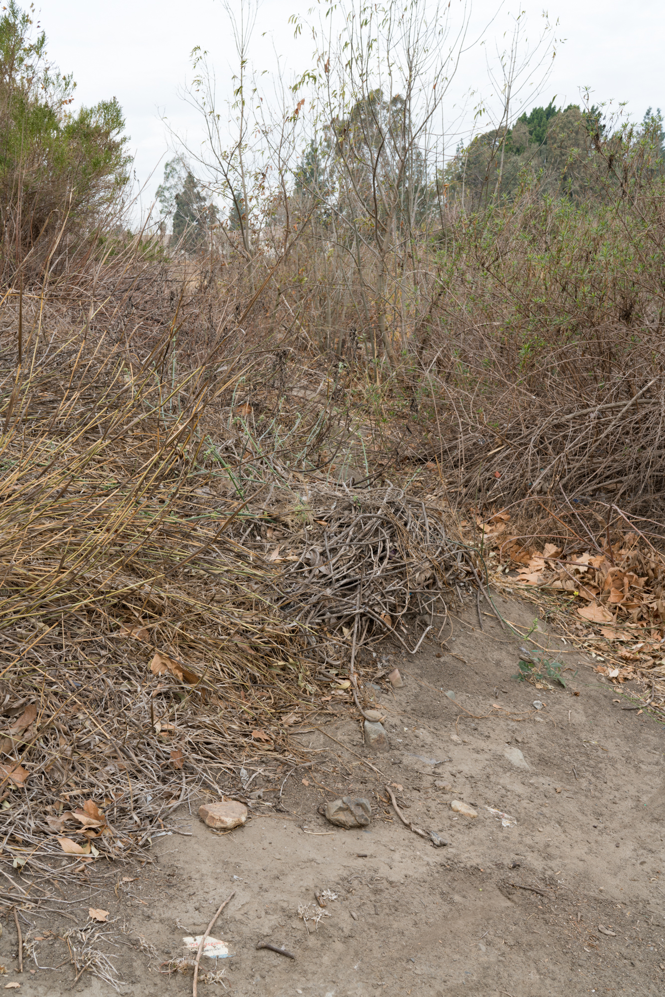
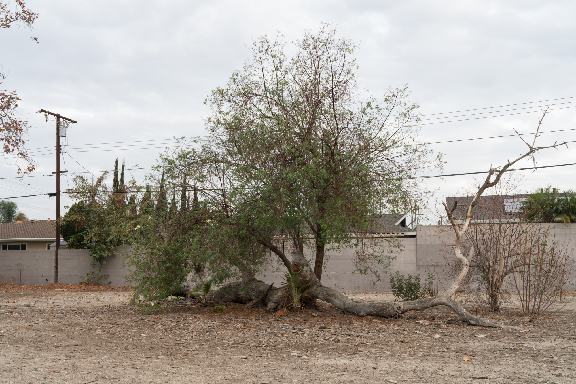
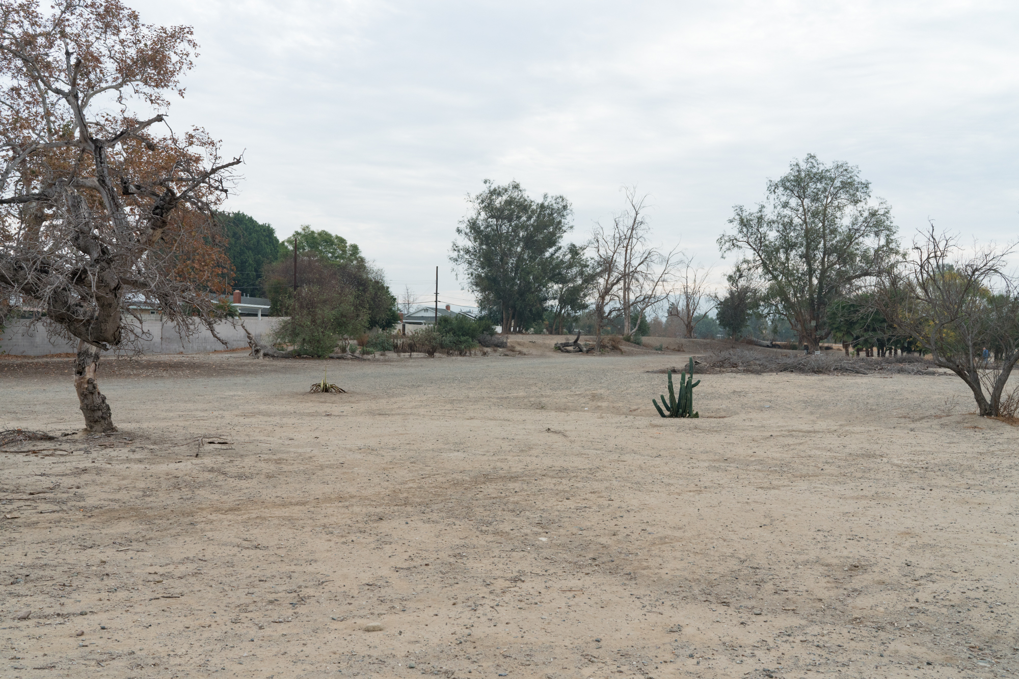
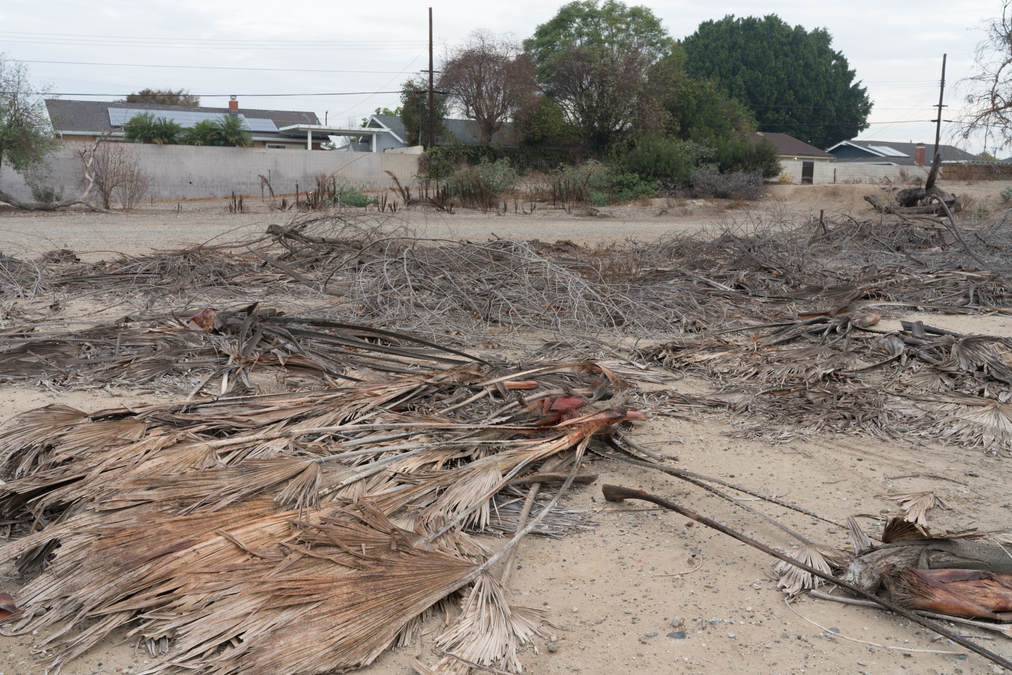
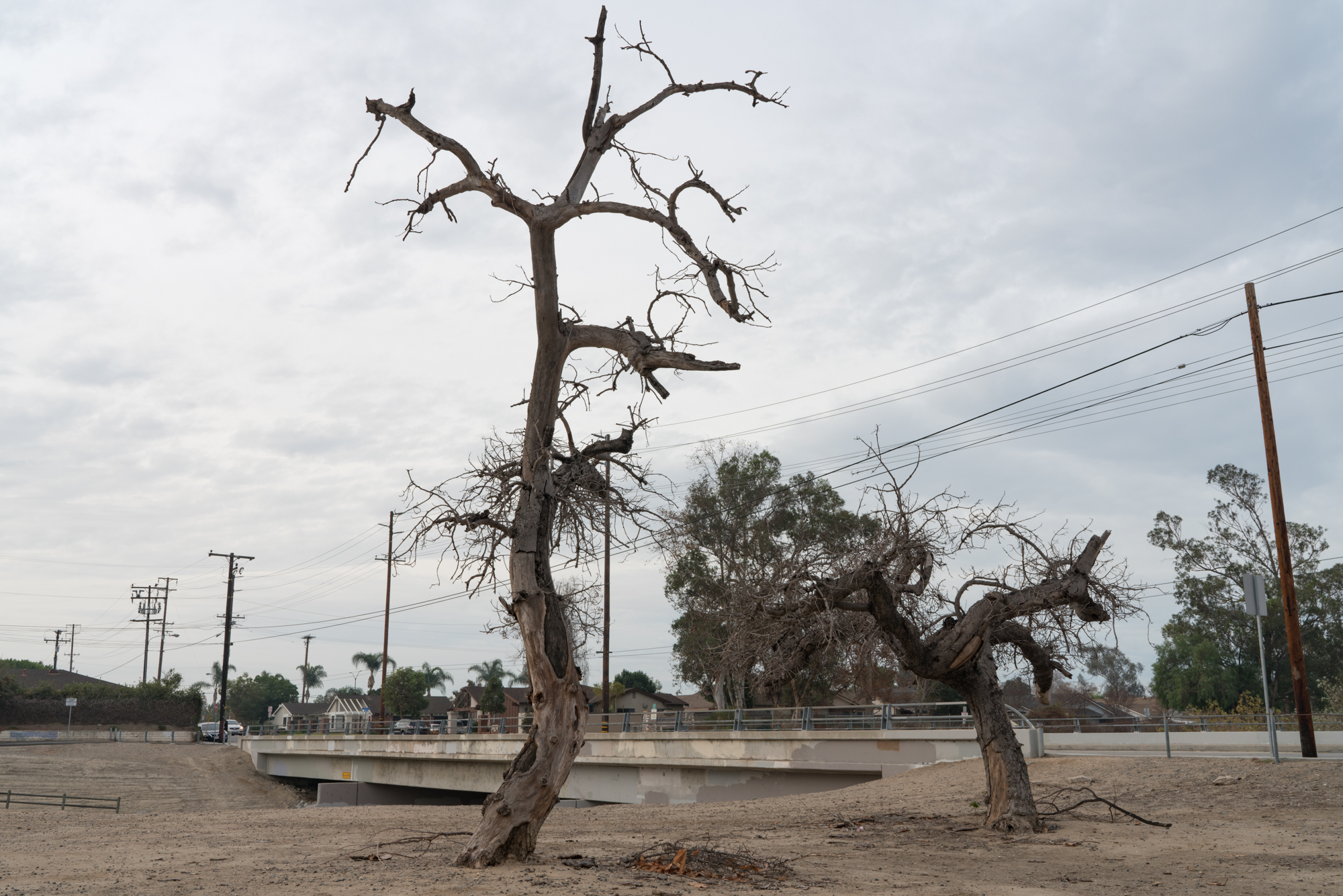
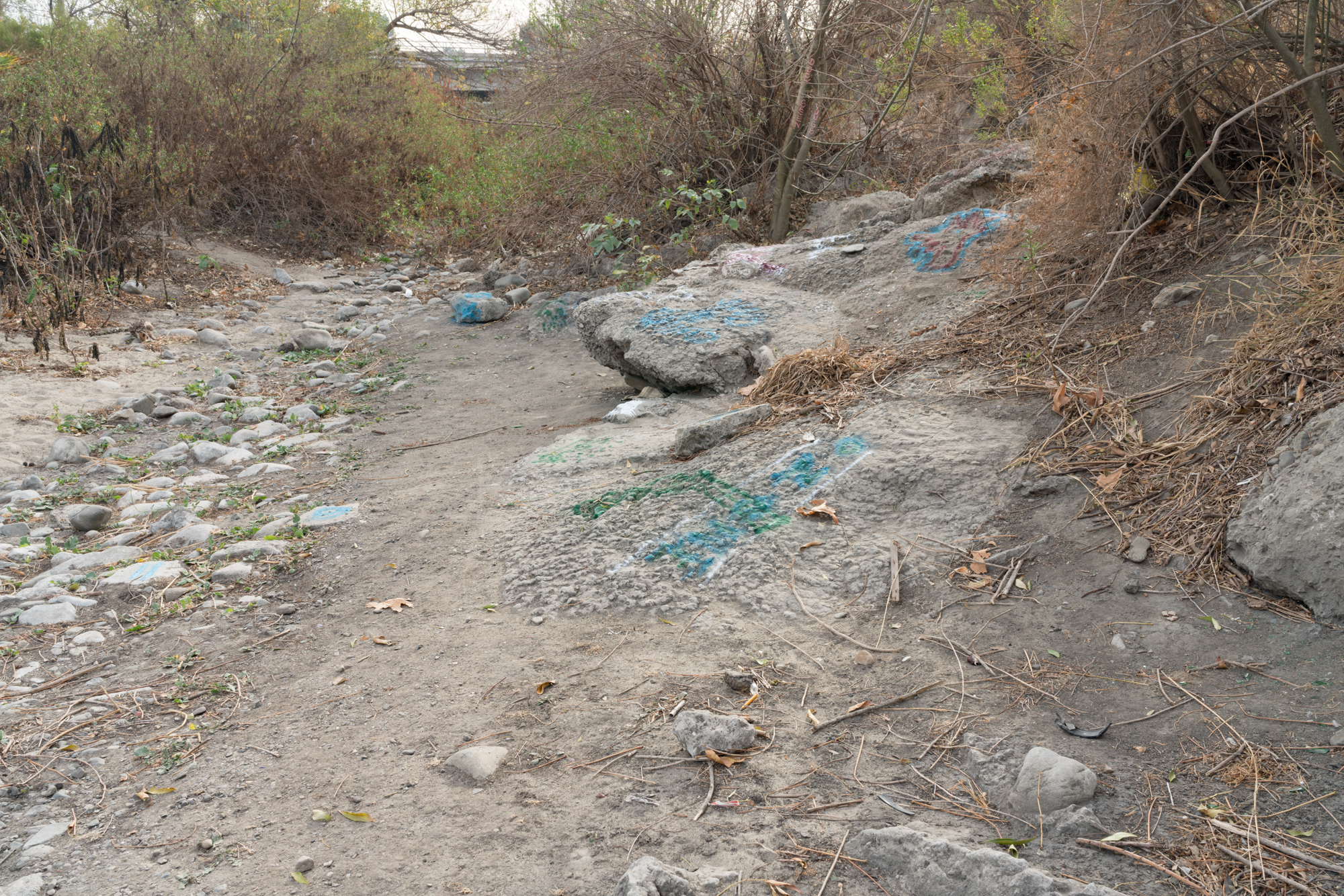
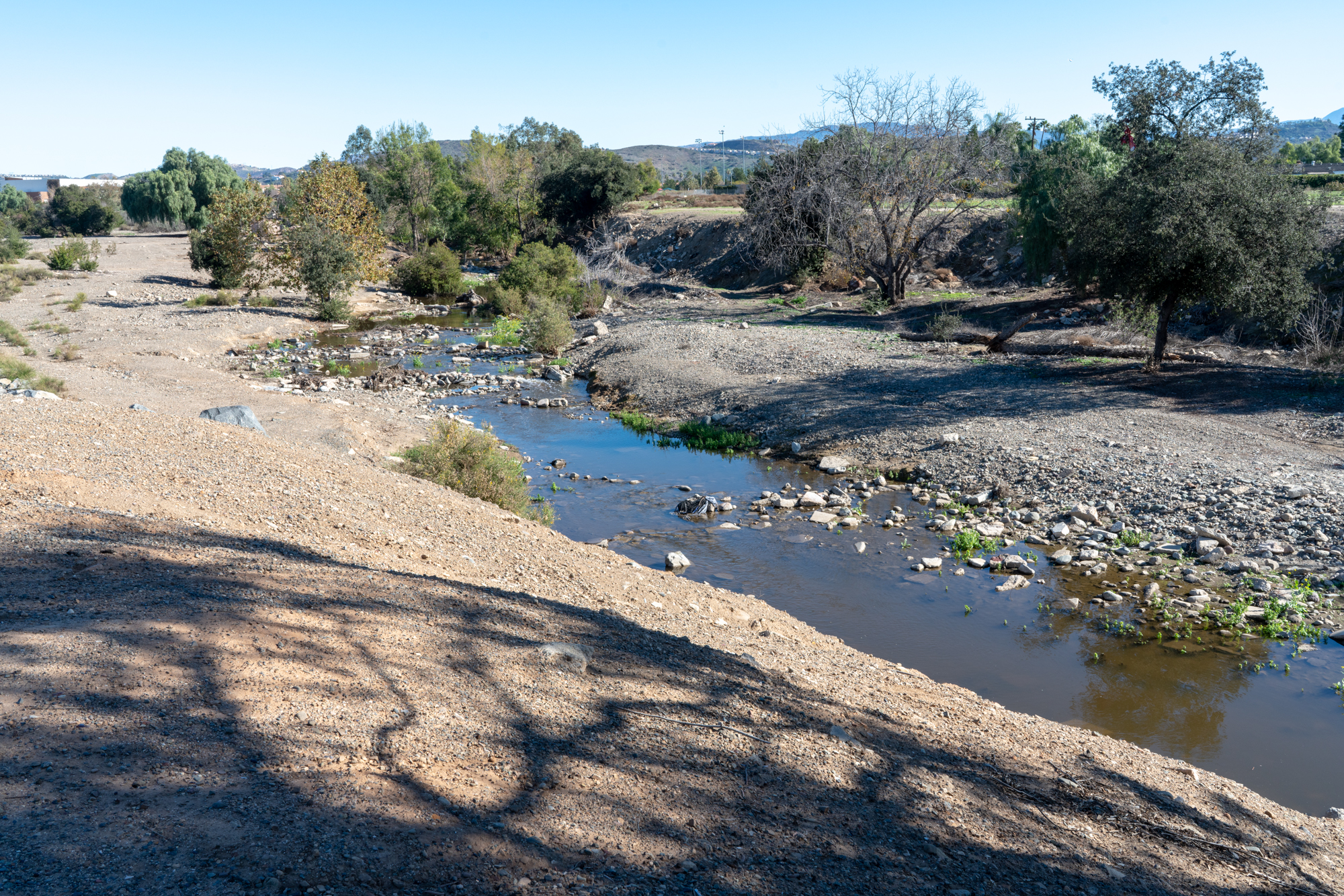
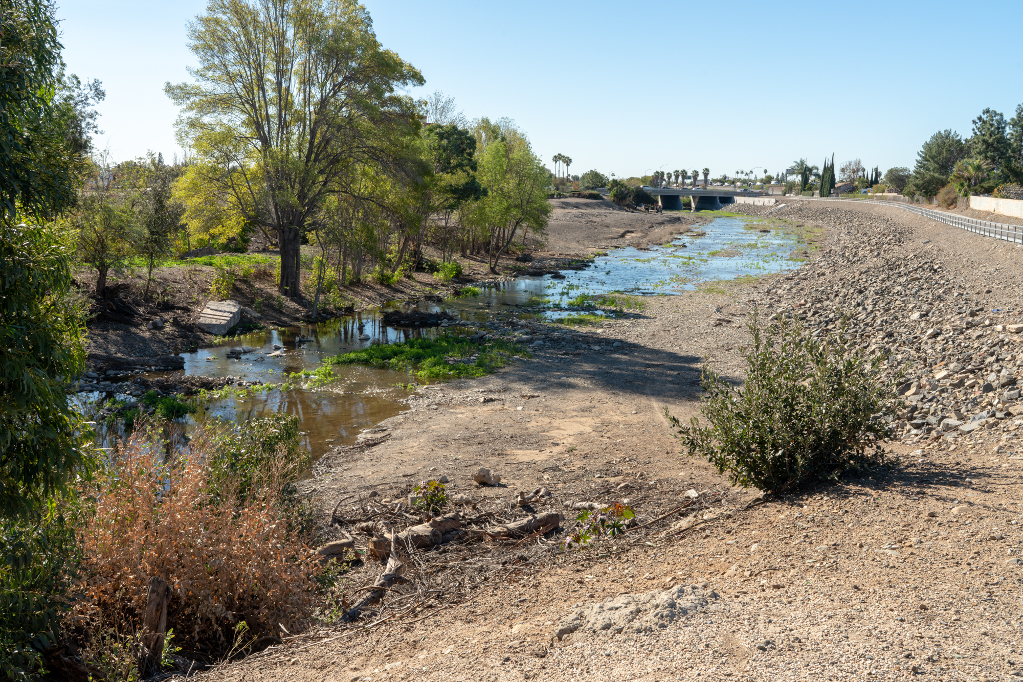
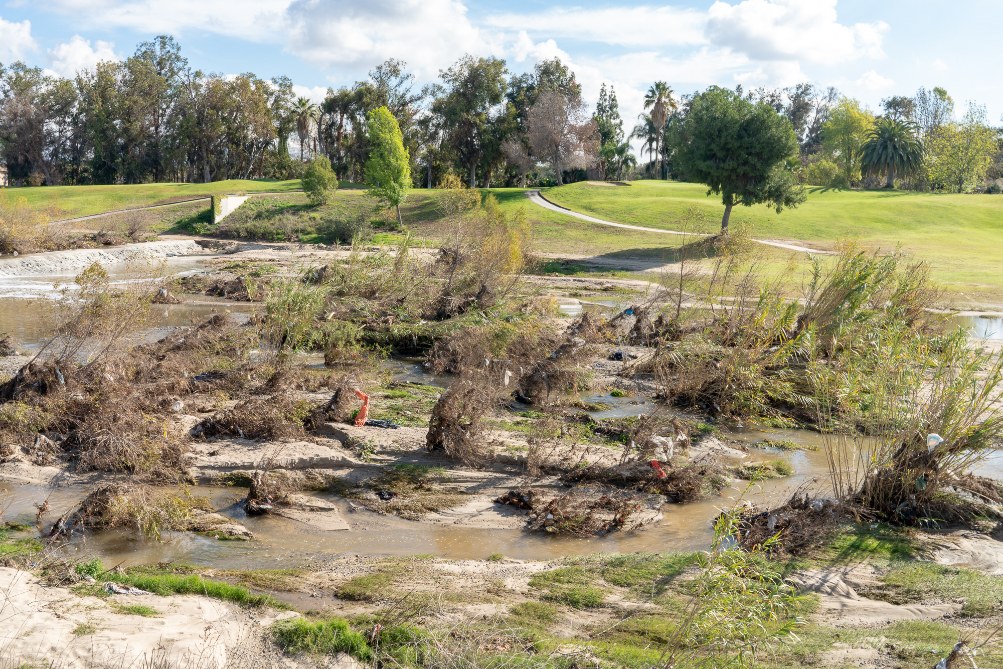
My love of dry desert creeks and underground streams started as soon as I moved to the Southwest. Standing in these dry creek beds you can “hear” the water flowing, but it is really the sound of the wind flowing through the rock beds. In the flatter areas you find the stream bed by waiting and looking for a visual hint that signals the path of the now subterranean stream. As a child growing up in the woods of the Northeast I often followed animal trails through the wood. Broken branches, hard pressed dirt, lesser density of bush gave away the path.
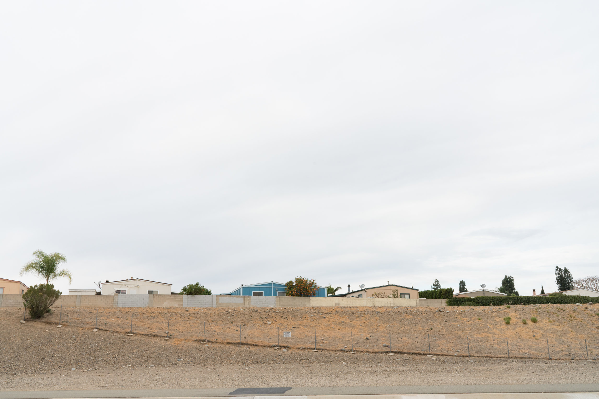
Here Santiago Creek stretches across Orange County, California, for about 34 miles. The stream appears and disappears, sometimes hard to navigate. The Santiago starts its life between Santiago Peak, the highest peek in the county, and Modjeska Peek, which together form the prominent Saddleback of the Santa Ana Mountains, often visible from the creek bed itself. It’s headwater rises towards the Santa Anna river, first running south-southwest toward Portola Hills before turning northwest. Downstream it receives Baker and Silverado Creeks and then after Santiago Canyon Road the gorge widens to a broad alluvial plain. The banks are now visible in the distance. The flow of water is limited to this upper stretch; below water flows underground except during the winter and early spring. Still, along its path water can percolate and sit on the surface. There is a wonderful repetition in the landscape, making you feel that you have been here, seen this, walked over those stones.